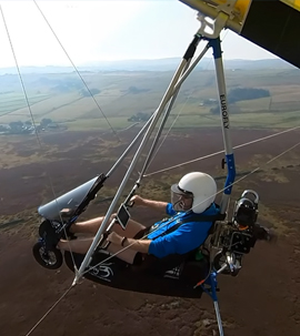
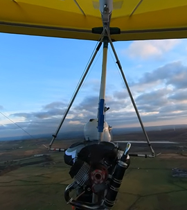
Welcome to the Oxenhope Airfield Website
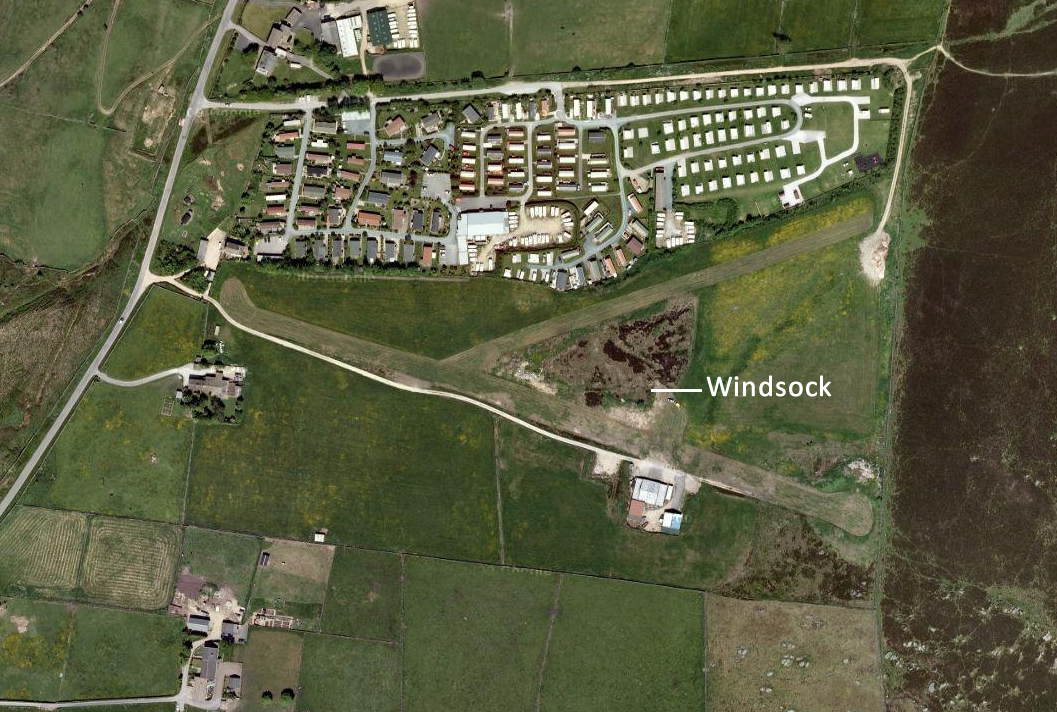
Oxenhope International Airfield is located 4NM S.S.W. of Keighley and 1/2 NM E. of Oxenhope. The airfield sits alongside Upwood Caravan park near the Worth Valley Steam Railway and Haworth. The nearest alternative airfield is Huddersfield.
The airfield is located at: Upwood House, Black Moor Road, Oxenhope, West Yorkshire BD22 9SS
Co-ordinates - 53° 48′N 01° 55W
1150′ AMSL
Owner Mr David Wasley, Tel 01535 642061
Co-Ordinates:
- • N53 48.83 W001 55.89
- • 1150 ft AMSL
- • 6 nm WNW of Bradford
- • POL 112.10 058 7.3
- • SAFETYCOM 135.480
- • Leeds Approach 134.580
- • Leeds ATIS 118.030
- • Leeds Radar 134.580
Remarks
- • Polehill 112.1
- • RAD 065
- • DME 7.0
- • No Fuel
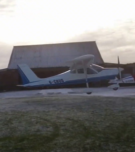
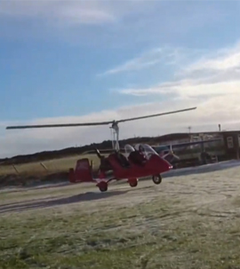
- • Strictly no helicopters. But helipad available at Hawksbridge Farm, PPO.
- • Landing Fee – Donations accepted.
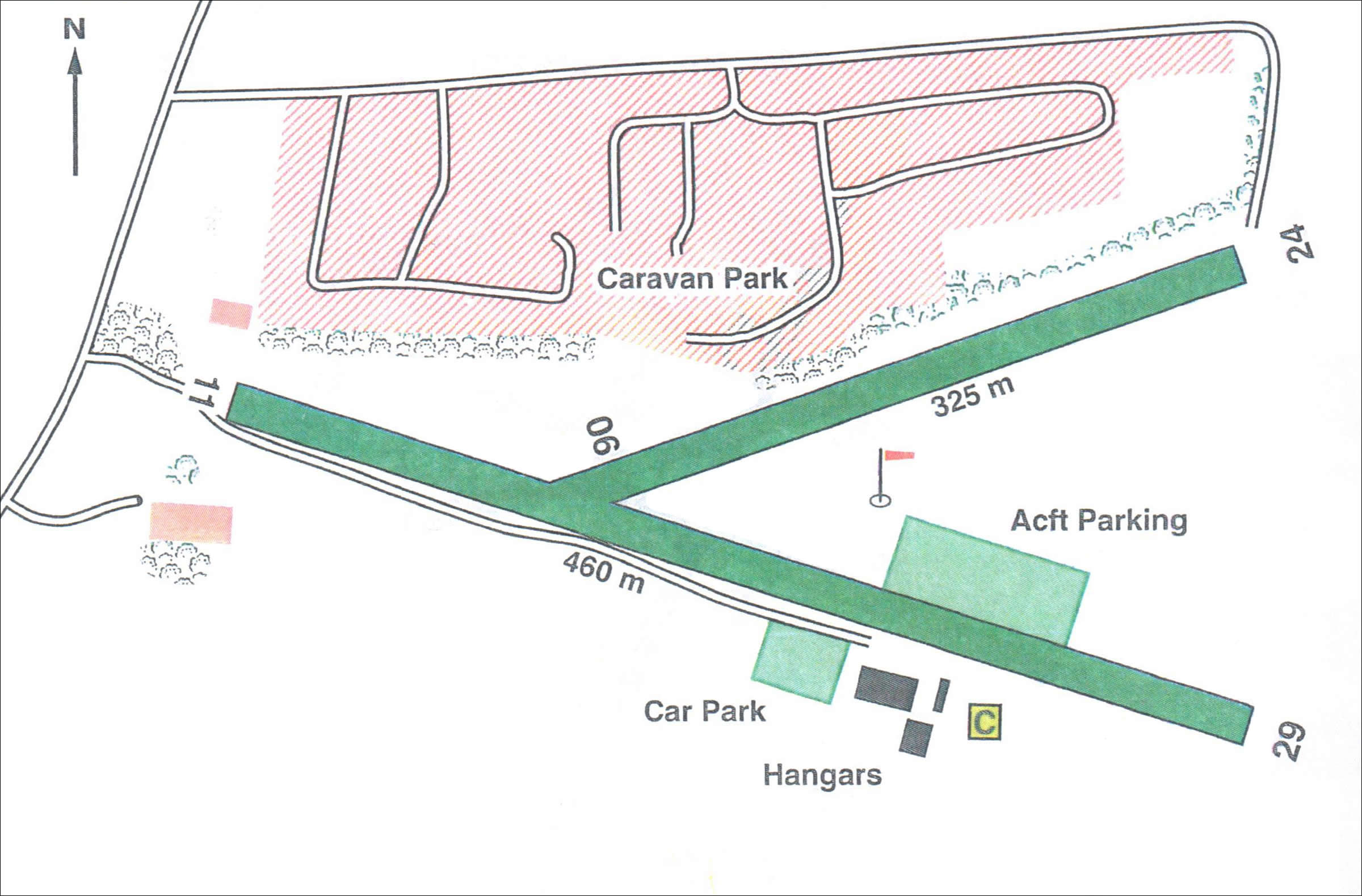
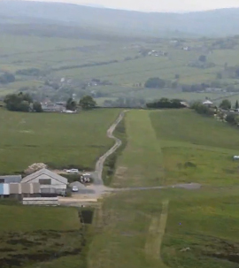
Runways
- • Grass
- • 11 / 29 – 460m x 15m – Grass
- • 06 / 24 – 325m x 10m – Grass
- • Runway 29 downslope for the first 120m
Comments
- • Undulating
- • Uphill
- • Soft in Winter
- • Stone walls each end
Warnings:
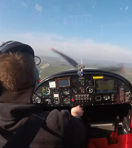
- • Turbulence from hangars and trees with strong winds.
- • Downdraughts experienced on approach to runways 24 and 11.
- • Manoeuvring areas are rough and undulating.
- • Wind farm 2 nm South of airfield up to 2000 ft amsl.
- • Farm machinery regularly use the airfield.
- • The first 100m of runway 24 can get waterlogged all year round – red/white cones mark extent of safe manoeuvring area.
- • Dry stone walls at Thld of Rways 24 and 29.
Windsocks:
- Orange at intersection